This article will show you how to add historic topographic and wildfire maps to your Gaia GPS account.
Historic Topo Maps
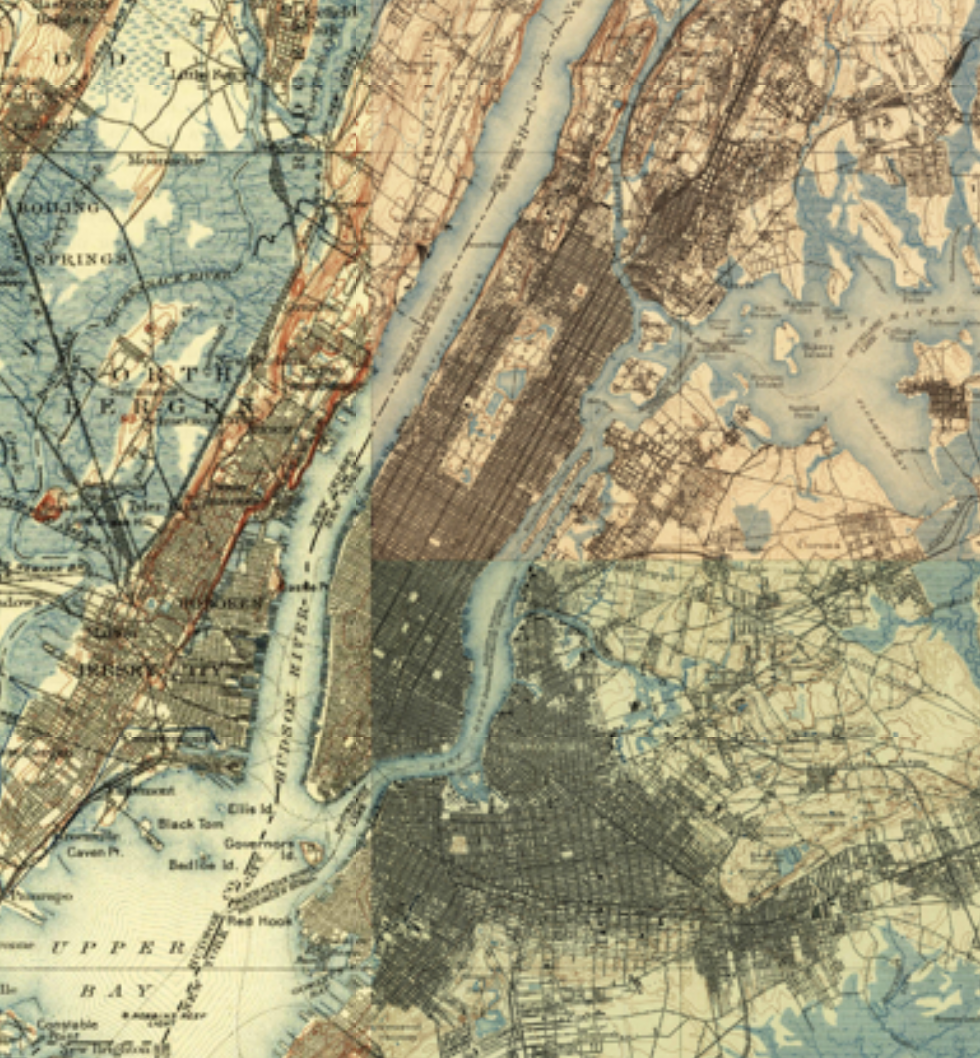
Rewind the clock over 100 years and explore the continental United States through a patchwork of historical, digitized USGS topographic maps. These maps are popular for metal detecting.
- Historic Topo 1900 - maps range from 1885 to 1915.
- Historic Topo 1930 - maps circa 1930.
If you don’t have one already, make sure to grab a Gaia GPS Premium Membership for access.
Add these maps to your account online:
- Login to gaiagps.com/login
- Click either link above
- Click Add to My Account
- View the maps
Or, find them in the United States section of the Layers menu in the app:
Read more about these maps here on the Gaia GPS blog: https://blog.gaiagps.com/historic-topo-maps/
Historic Wildfire Overlays
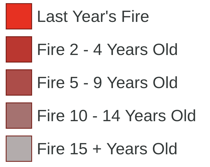
Curious about landscape change? Find out where recent wildfires have burned across North America with two historic wildfire overlays.
- Wildfires (US, Historical) fires from last 15+ years
- Wildfires (Canada, Historical) fires from last 20+ years
These overlays are only available with a Gaia GPS Premium Membership.
Add these overlays to your account online:
- Login to gaiagps.com/login
- Click either link above
- Click Add to My Account
- View the maps
Or, find them in the Feature/Weather Overlays section of the Layers menu in the app:
- First, Add and Manage Overlays
- Then, Adjust your Layered Maps