Preview maps you can use in Gaia GPS in the Map Gallery - (https://www.gaiagps.com/maps/)
Without a subscription, you can only access the Gaia Topo source. With a Premium Membership, you can access all 250+ sources, including overlays for weather, land ownership, and other information, and get specialized data for hunting, skiing, offroading/overlanding, and professional uses.
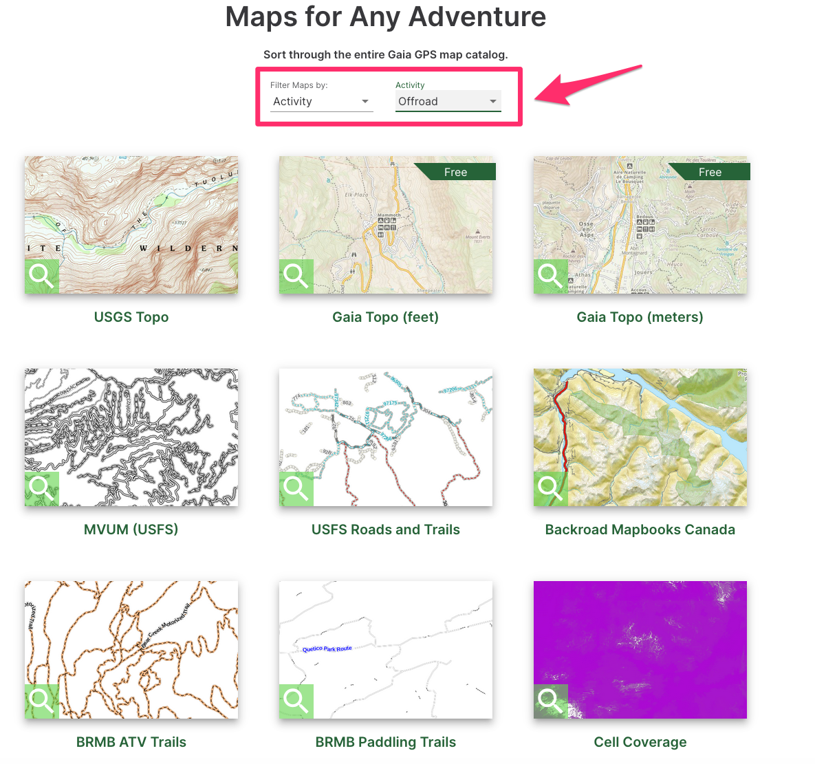
Browsing for Maps
Maps can be filtered by Activity, Type, or Location.