
Critical error. Lakes missing - how to fix?
Answered
A problem I've had sporadically on the GAIA app (android ) is that sometimes the lakes in a downloaded map will be missing. I've had this happen on backcountry trips. This makes it impossible to rely on the GAIA map for navigation use.
Earlier today, I saw the same issue on the GAIA web site. First take a look at this screen shot from Caltopo.com that shows all the lakes:
Now take a look at this screenshot from the GAIA web site. This is the same area sown on the map above. Notice that around 20 lakes are missing.
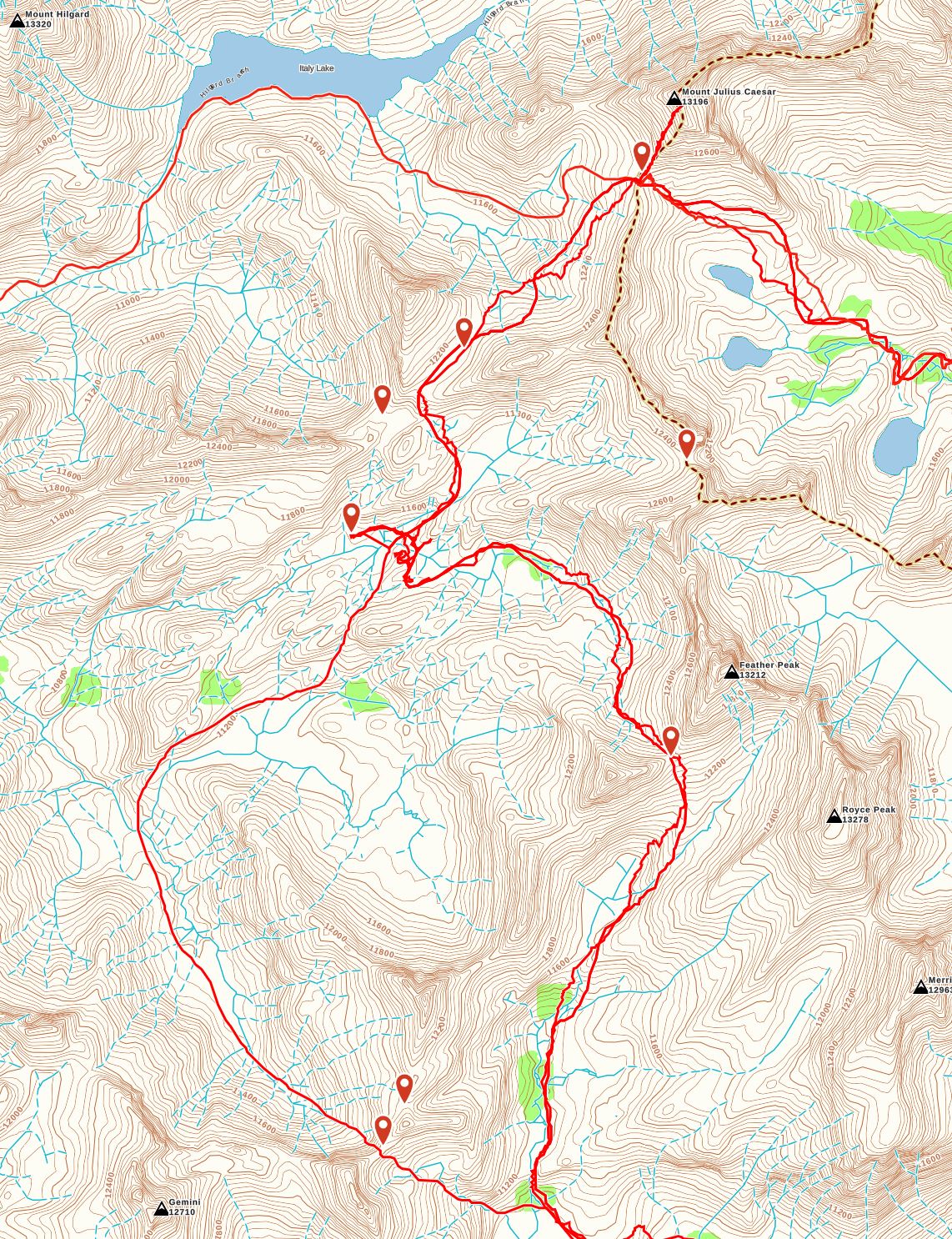
Why does this happen? How can we fix this?
-

@chrisJain
Thanks for reporting this.
It looks like the data used to build this area of Gaia Topo doesn't include these lakes. I'll pass this along to our map-tech team.
In the meantime, it looks like these lakes are all rendered properly in other sources. USGS Topo, USFS Classic, and National Map are just a few I confirmed.0 -
How do I fix this problem? I just returned from a trip to the Humphreys Basin in the Sierras and neither the Gaia or USGS Topo layers showed any of the lakes there (with the exception of one: Desolation Lake. We were going cross-country and this was a serious impediment to our being able to use Gaia to navigate.
0 -

Eh, what's a few smaller lakes missing? The Great Lake Huron has been missing from the GAIA web layer for months at any reasonable zoom level. /sarcasm
0 -
 @ChrisJain
Gaia Topo, as well as several other sources in the app, are based on OpenStreetMap data, an Open-source and public mapping project.
You can actually contribute to OSM in order to add trails and features to the map. Read more about this and find instructions here: Contribute to OpenStreetMap
If you have any questions about this process, please email support@gaiagps.com.0 -
@jpurdy
I'm sorry for the trouble. I know Lake Huron has been missing from Gaia Topo for some time.
We've been working on a new version of the Gaia Topo map that should be out soon, and Lake Huron is appearing properly there.
We'll make an announcement on our blog when we release the new map - but if you'd like early access to the map, send a message to my co-worker at ashli@gaiagps.com to get set up.0 -
I see that Gaia Topo is still not showing most of the lakes in the Sierra Nevada. Any word on when that new version of the map may come out?
Until this issue is fixed, it's probably a really good idea for anyone who uses Gaia for backcountry navigation to be sure to always have the USGS Topo layer and use that as their primary maps.0
Please sign in to leave a comment.
Comments
6 comments